NYC WIFI DRONE
ENVISION RESILIENCY AND MAPPING VULNERABILITIES IN COASTAL CITIES, FOLLOWING THE LESSONS BROUGHT BY HURRICANE SANDY
DRONE MAP
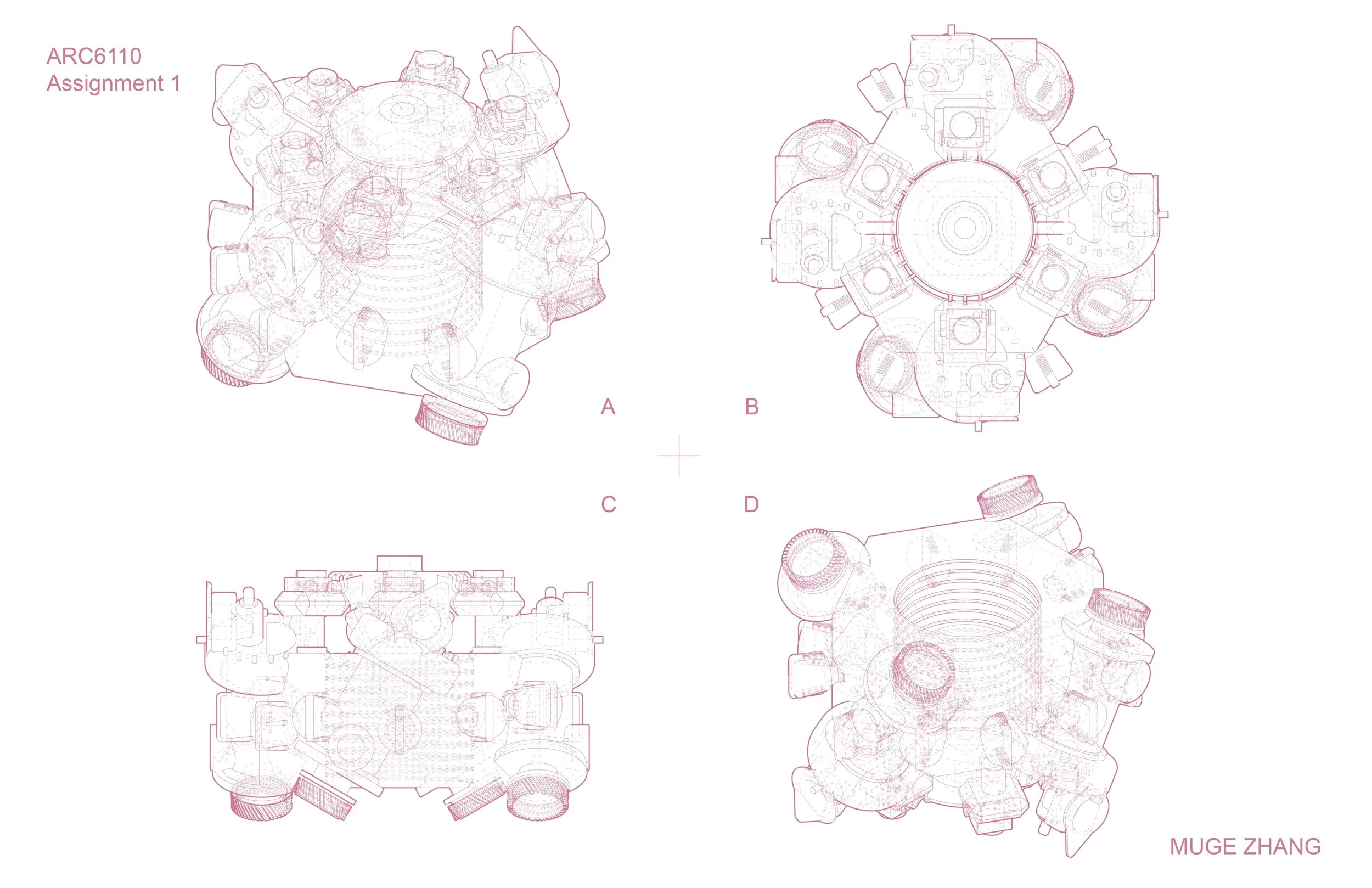
DRONE DESIGN
In this map, we can see that the interrelationship between locations might be impacted during flood or hurricane. The mapping shows the wifi hotspot and possible flood regions. The evacuation centers are also mapped out to build on resiliency.
The prototypes of the drones that serves emergency wifi hotspot provdiers are then provided
DRONE PROTOTYPES
