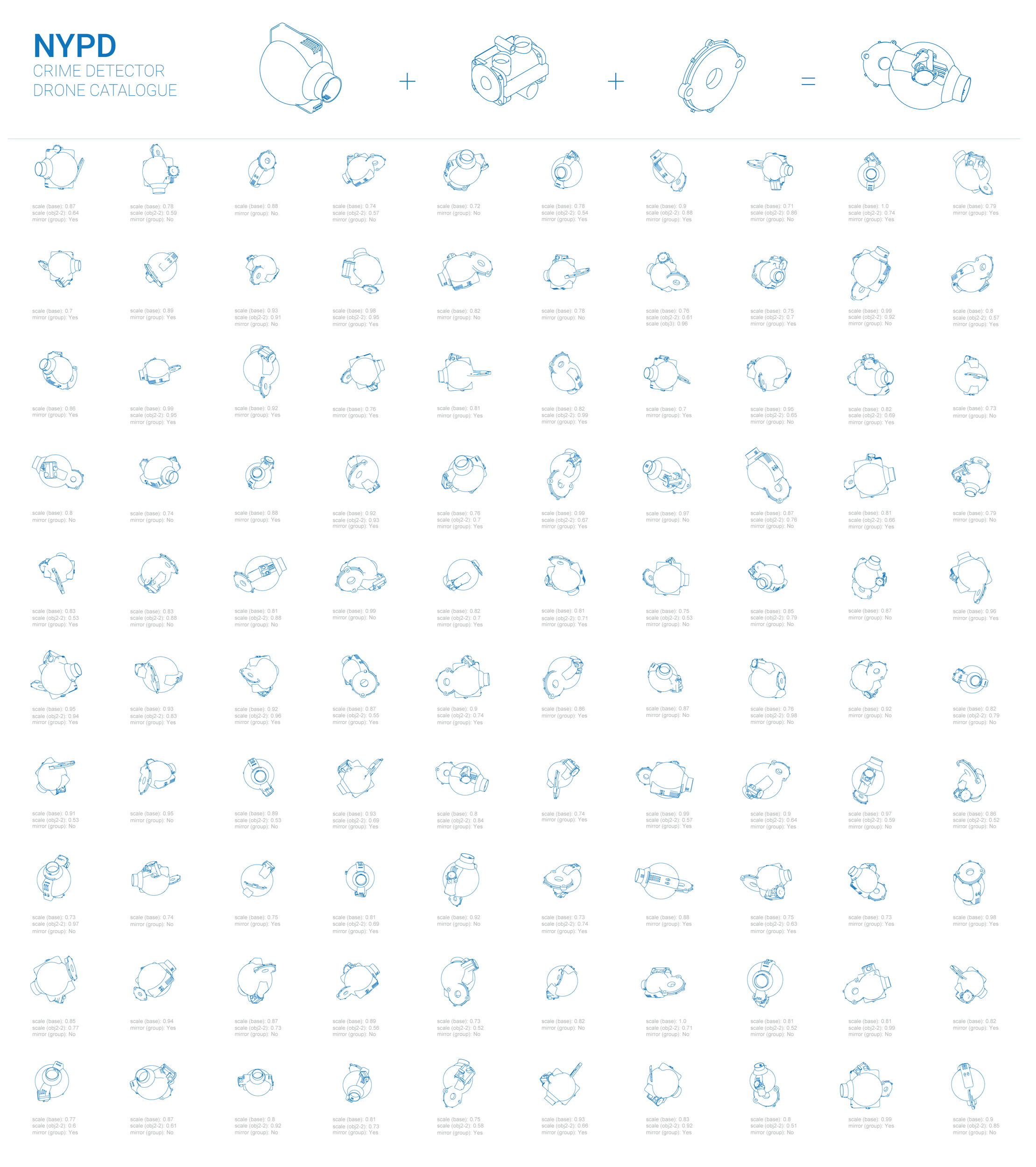
NYPD Minions
This project explores the potential of crime detector drone services to enhance public safety in New York City. It features interactive maps that visualize drone patrol routes between streets, precincts, and police stations, overlaid on the NYC urban fabric to demonstrate how the system operates.

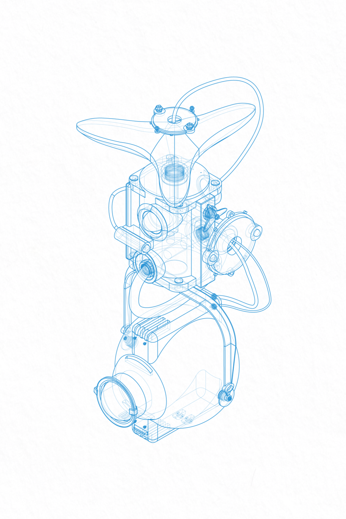
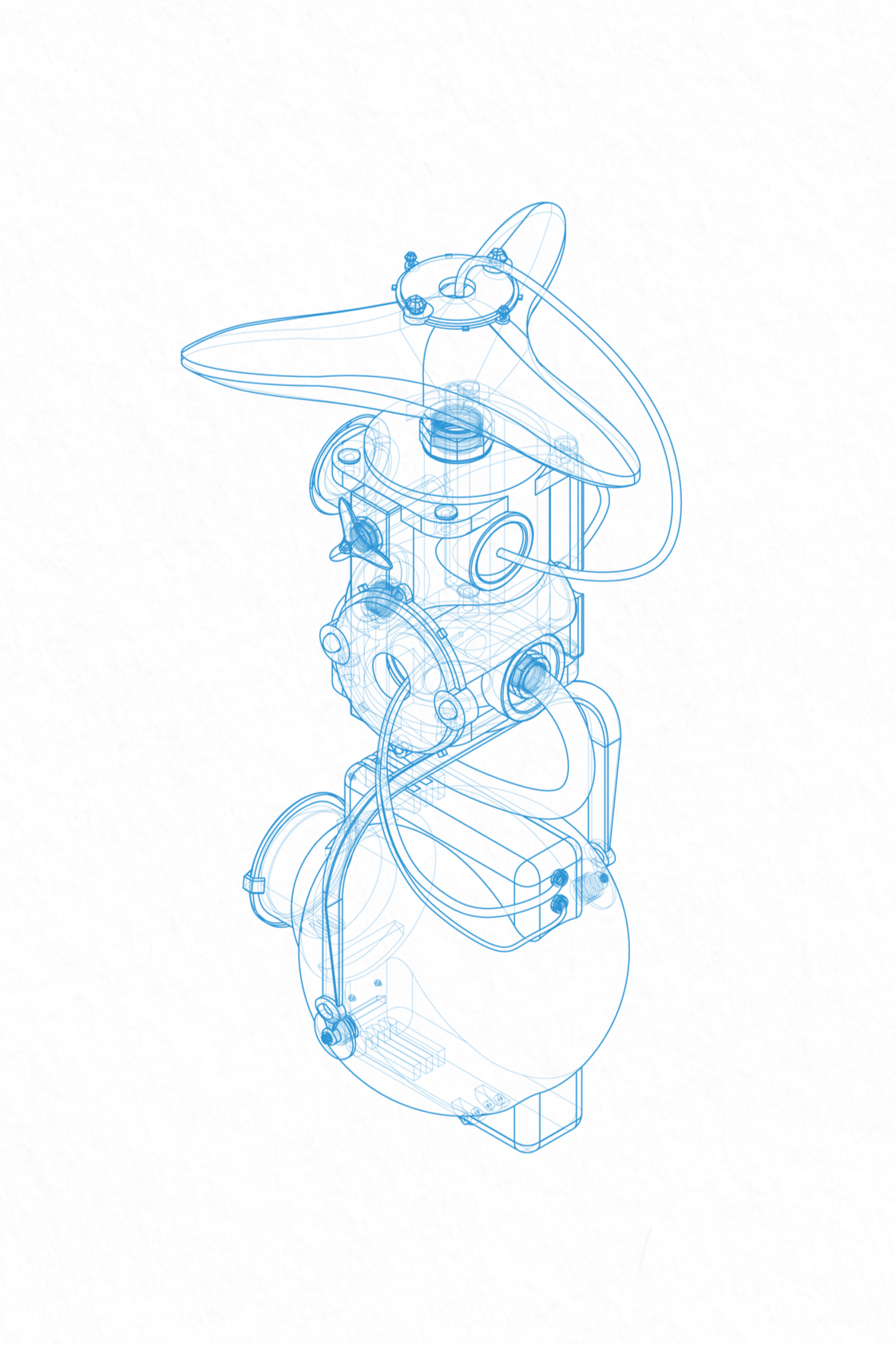
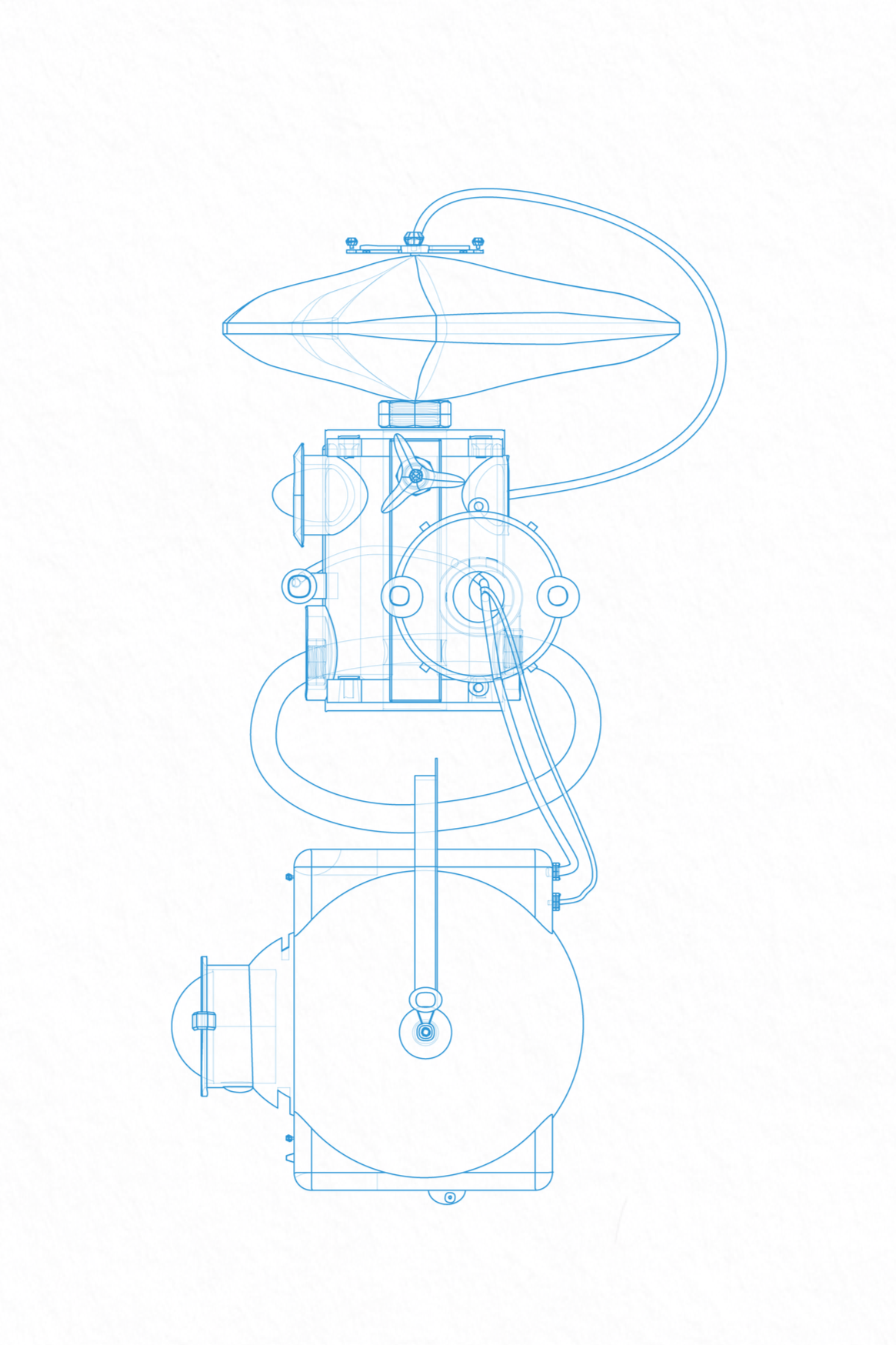
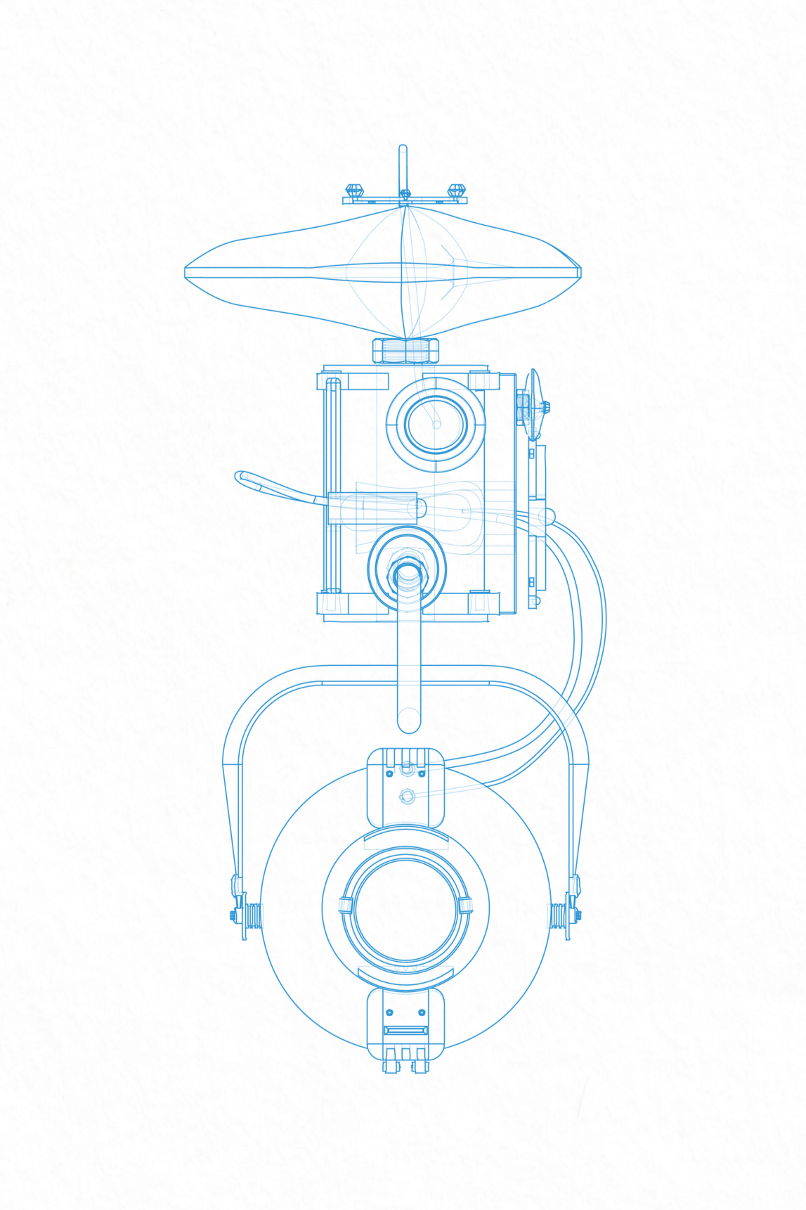
DRONE DESIGN AND ROUTE MAP
The crime detection route maps drone patrol paths across streets, precincts, and police stations, overlaid on the NYC urban fabric to reveal how the system operates. Accompanied by a catalogue of drone iterations, the project visualizes the evolution of drone design from modular components to fully assembled surveillance units. The first draft of the drone design explains how the basic functions work.