New York City
Travelling Map
by Yunqin Wang
For city life explorers, New York City is definitely one of the top-rated travelling destinations. Museums, parks, historical buildings are scattered throughout the city along with bars, cáfes and boutique restaurants. Somehow, the exploding information could be too overwhelming, which causes tourists to feel at loss .
The travelling map posted here has pinned out those worth visiting places as well as some facilities and transportations to help tourists find the best travelling route and organize their trips ahead.
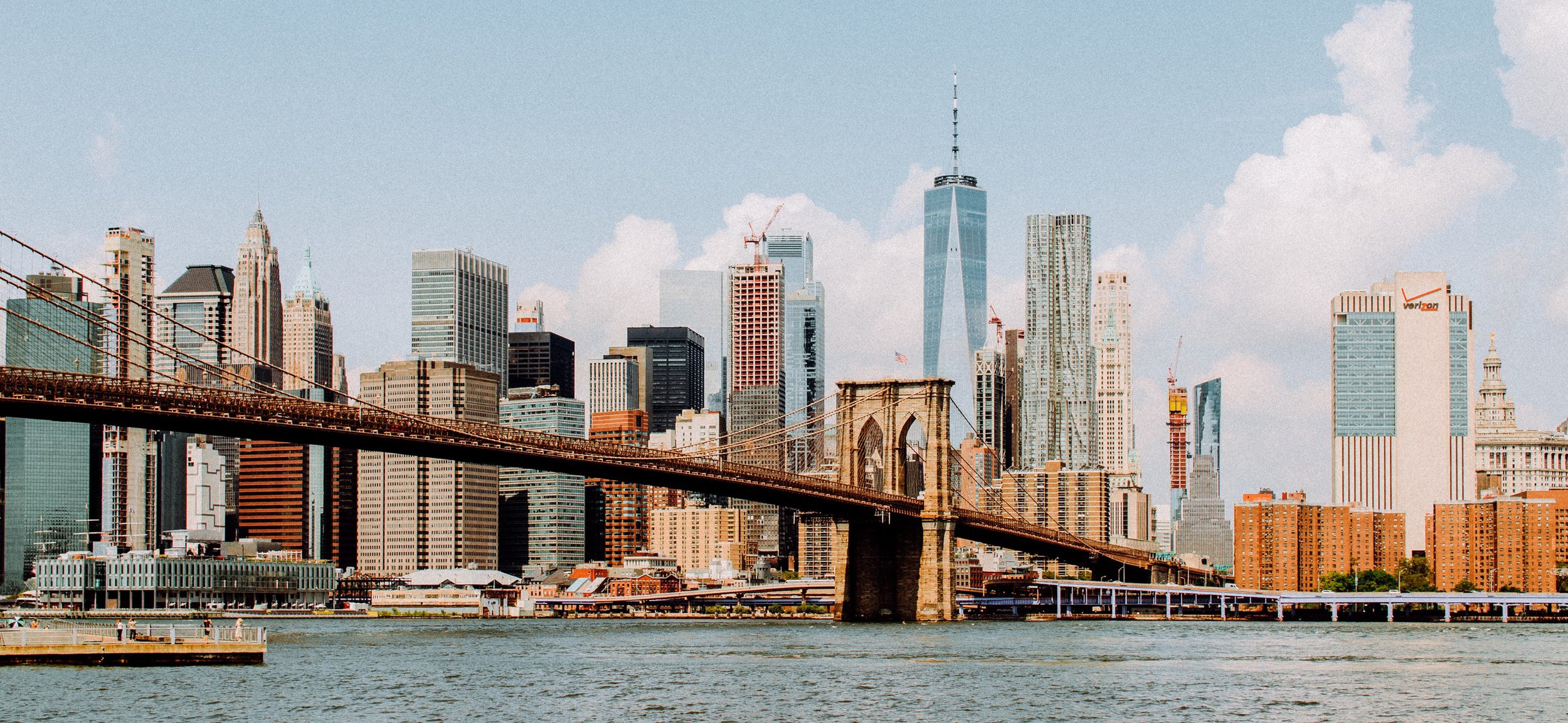
Your trip starts from here !
Waterfront Point + Park +
Historical Architecture +
Vendor Machine +
Metro Line +Airport
This is a map for tourists travelling in New York City. Circles, hexagons and lines are pinned on the places welcomed by tourists to clearly demonstrate which area attracts visitors most.
The comparatively adjacent waterfront spots and historic districts are grouped together, then forming closed polylines as ideal paths for people to visit all these places efficiently; vendors with a distance less than 800 meters are connected to form a network.
The links between paths, networks and subway stations explicitly show which stations are close to the sightseeing points.
On the macrosclae, the average points of waterfront spots, historic spots, vendor spots along with airports are considered as attractors, and flows at the stations have a generic tendency of moving towards these spots, which are depicted within the “magnetic field.”
by Yunqin Wang
Go Manhattan, Go!
Having a closer look, you can see how dynamic some districts are.
You must not miss the lightest part !
