Hudson Valley Transportation
Research and Project Proposal of Damien Pelo
VoTransit City
The Central Hub of Innovative Vocational Technology Testing Ground
Traffic Volume Through Covid-19
As the Covid-19 Pandemic struck the world, something that was apparent was the change in motion through the world. Looking specifically at the scope of the Hudson Valley Region, the maps and information below looks into what the traffic volumes in 2018, 2019, and 2020 to visualize and understand how the Covid-19 Pandemic impacted the motion of the Hudson Valley Region, New York. Each map below is interactive with information showing the nodes station number, the correlating road name, and the volume. After that, the line charts shows each node, and their volumes per year, which helps visualize the change each node saw.
Traffic Volume 2018
Traffic Volume 2019
Traffic Volume 2020
Each station change through covid-19
Station 11_0005 : Pearl StreetStation 11_0903 : NY-5 / 910bStation 13_0475 : ny-23aStation 81_0174 : us-20Station 83_0038 : i-84Station 83_0567 : us-9wStation 84_0902 : Taconic ParkwayStation 86_0025 : ny-32Station 11_0017 : NY -5 / Washington aveStation 13_0024 : ny-23station 15_0337 : ny-147Station 81_0222 : ny-23Station 83_0164 : ny-17Station 83_0684 : ny-52Station 84_0905 : I-684 / Ny-22Station 87_0021 : us-9Station 11_0137 : US-9Station 13_0056 : us-9Wstation 16_0279 : ny-5Station 83_0002 : us-6Station 83_0362 : ny-94Station 84_0008 : i-84Station 85_2580 : cr-106Station 87_1012 : cr18Transportation/ Distribution Through New York State
All Major Transportation Through New York State Scale
Major Roads Through New York State Scale
Passenger Rails Through New York State Scale

All Major Distribution Through New York State Scale

Freight Distribution by Water Through New York State Scale
Airports Through New York State Scale
Bike Paths Through New York State Scale
Ferry Routes and Ports Through New York State Scale

Freight Distribution by Rail Through New York State Scale

Freight Distribution by Multi-Method Through New York State Scale
Transportation/Distribution Through Hudson River Valley
All Major Transportation Through Hudson River Valley Scope
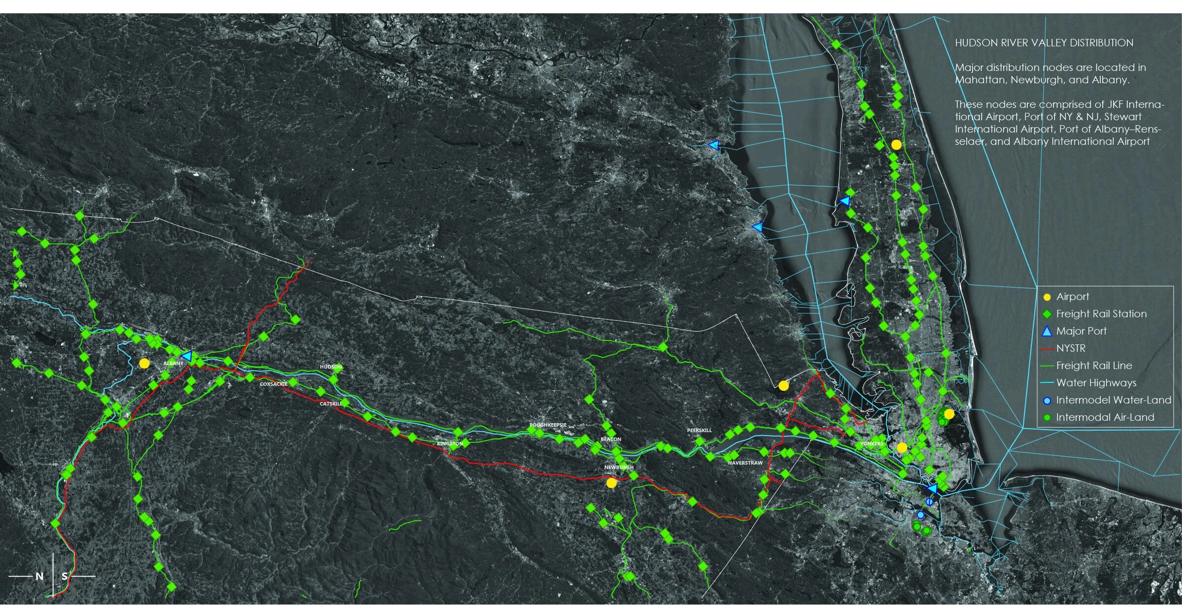
All Major Distribution Through Hudson River Valley Scope
Where to Now?
Proposed Site Option 1 -
Between Poughkeepsie, Pleasant Valley, Verbank, and Billings, NY

Proposed Site Option 2 -
Between Rhinebeck, Staatsburg, and Pleasant Plains, NY

VoTransit City will act as the central hub of Vocational Educational Programs and Training. This hub will tie into the existing SUNY Campuses of the Hudson Valley Region, creating a link that will provide ease of access from program to program and allow inter-disciplinary interaction and collaboration. With transportation being main focus, this network is to allow vocational programs to innovate, and test, ideas of transportation, whether that is utilizing the current infrastructure available, or inventing and implementing their own. Hudson Valley will serve as their testing grounds.
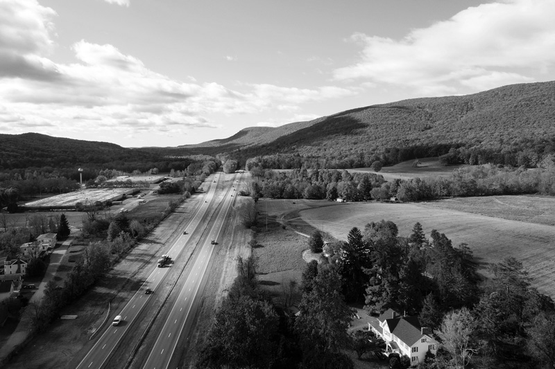
What Might It Look Like?

This collage is a visual representation of what the in between VoTransit City and the College Nodes could look like